-40%
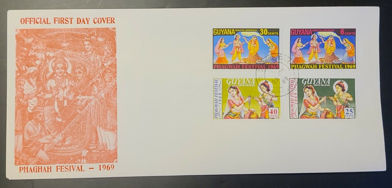
GUYANA BRITISH GUIANA OFFICIAL FIRST DAY COVER FDC PHAGWAH FESTIVAL 1969
$ 5.48
- Description
- Size Guide
Description
GUYANA/ BRITISH GUIANA
OFFICIAL FIRST DAY COVER (FDC)
1969
PHAGWAH FESTIVAL
Phagwah or Holi as it is commonly called is an annual Hindu Festival of Colors celebrating the arrival of Spring.
Phagwah is said to be the most joyous and colourful of
festivals and today has become a part of the national
psyche and is celebrated by all Guyanese.
COMPLETE SET OF STAMPS
5, 25, 30, 40 CENTS
Collector's item to frame and display
SCARCE
Guyana Lot #120
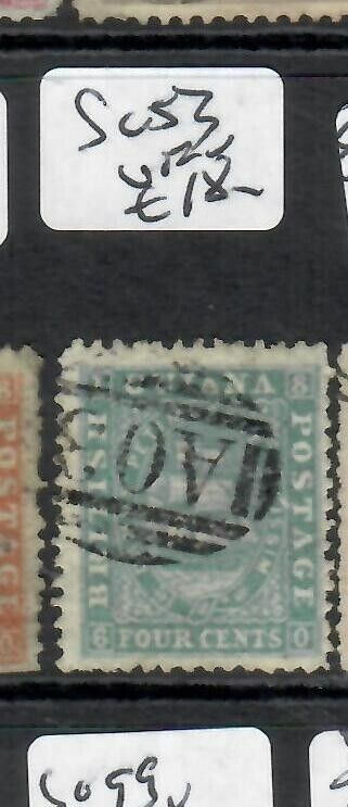
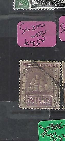
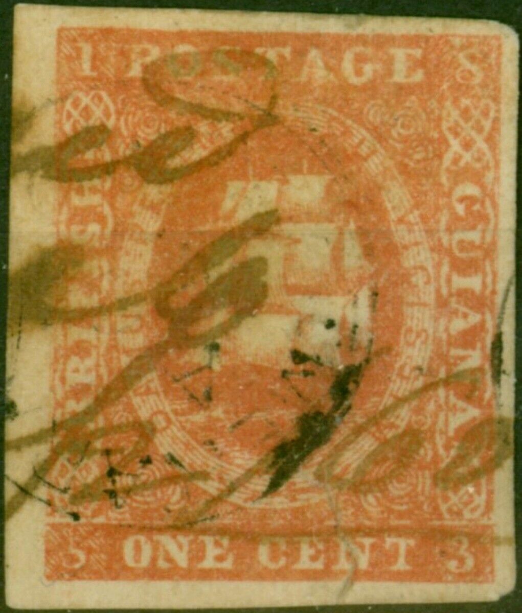
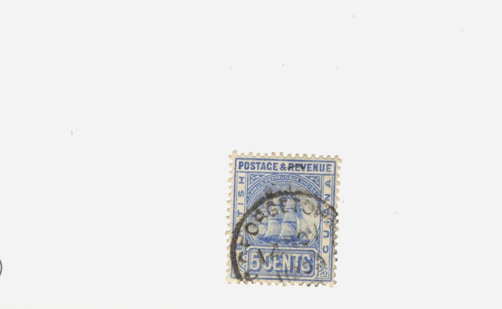
Guyana formerly British Guiana
Guyana
, officially the
Co‑operative Republic of Guyana
, isa country on the northern mainland of
South America
and the capital city isGeorgetown. It is part of the mainland
Caribbean region
maintaining its strongcultural, historical, and political ties with other
Caribbean
countries and the
Caribbean Community
(CARICOM).Guyana is bordered by the
Atlantic Ocean
to the north,
Brazil
to the south and southwest,
Venezuela
to the west, and
Suriname
to the east. With 215,000 squarekilometres (83,000 sq mi), Guyana is the third-smallest
sovereign state
by area in mainland SouthAmerica after
Uruguay
and
Suriname
; it is also the
second-leastpopulous sovereign state in South America
after Suriname.
The region known as "
the Guianas
" consists of the
large shield landmass
north of the
Amazon River
and east of the
Orinoco River
known as the "land of manywaters". There are nine
indigenous
tribesresiding in Guyana: the
WaiWai
,
Macushi
,
Patamona
,
Lokono
,
Kalina
,
Wapishana
,
Pemon
,
Akawaio
and
Warao
. Historically dominated by the Lokono andKalina tribes, Guyana was colonised by the Dutch before coming under
British control
in the late 18th century. It wasgoverned as
British Guiana
,with a mostly plantation-style economy until the 1950s. It gained independencein 1966, and officially became a republic within the
Commonwealth of Nations
in1970. The legacy of British rule is reflected in the country's politicaladministration and diverse population, which includes
Indian
,
African
,
Amerindian
,
Chinese
,
Portuguese
,
other European
, and various multiracial groups. In2017, 41% of the population of Guyana lived below the
poverty line
.
[11]
Guyana is the only South American nation in which English is theofficial language. The majority of the population, however, speak
Guyanese Creole
, an
English-basedcreole language
, as a first language. Guyana is part of the
Anglophone Caribbean
.CARICOM
headquarters
isin Guyana's capital and largest city,
Georgetown
. In2008, the country joined the
Union ofSouth American Nations
as a founding member.
Etymology
The name "Guyana" derivesfrom
Guiana
, the original name for the region that formerlyincluded Guyana (British Guiana), Suriname (
DutchGuiana
), French Guiana, and parts of
Colombia
, Venezuela and Brazil. According tothe
Oxford English Dictionary
,"Guyana" comes from an indigenous Amerindian language and means"land of many waters".
History
There are nine
indigenous
tribesresiding in Guyana: the
WaiWai
,
Macushi
,
Patamona
,
Lokono
,
Kalina
,
Wapishana
,
Pemon
,
Akawaio
and
Warao
. Historically, the Lokono and Kalinatribes dominated Guyana. Although
Christopher Columbus
wasthe first European to sight Guyana during his third voyage (in 1498), andSir
Walter Raleigh
wrotean account in 1596, the
Dutch
were the first Europeans to establishcolonies:
Pomeroon
(1581),
Essequibo
(1616),
Berbice
(1627), and
Demerara
(1752). After the
British
assumedcontrol in 1796, the Dutch formally ceded the area in 1814. In 1831 thethree separate colonies became a single British colony known as
British Guiana
.
Since its independence in 1824, Venezuelahas claimed the area of land to the west of the
Essequibo River
.
Simón Bolívar
wroteto the British government warning against the Berbice and Demerara settlerssettling on land which the Venezuelans, as assumed heirs of Spanish claims onthe area dating to the sixteenth century, claimed was theirs. In 1899 aninternational tribunal ruled the land belonged to Great Britain.
[16]
The British territorial claim stemmedfrom Dutch involvement and colonization of the area also dating to thesixteenth century, which was ceded to the British.
Guyana achieved independence from theUnited Kingdom as a dominion on 26 May 1966 and became a republic on 23February 1970, remaining a member of the Commonwealth. Shortly afterindependence,
Venezuela
beganto take diplomatic, economic and military action against Guyana in order toenforce its territorial claim to the
Guayana Esequiba
.
[17]
The
US StateDepartment
and the US
Central Intelligence Agency
(CIA),along with the British government, also played a strong role in influencingpolitical control in Guyana during this time.
[18]
The American governmentsupported
Forbes Burnham
duringthe early years of independence because
Cheddi Jagan
was identified as a
Marxist
. They provided secret financial support andpolitical campaign advice to Burnham's
People'sNational Congress
, to the detriment of the Jagan-led
People'sProgressive Party
, which was mostly supported by Guyanese of EastIndian background.
In 1974, the Guyana government leased 1,500hectares (3,800 acres) of land to
Peoples Temple
, an American new religious movement,led by pastor
Jim Jones
. Thesettlement, informally called "
Jonestown
", eventually grew to a population ofabout 1,000 people, mostly emigrated from the United States. In 1978, Guyanareceived worldwide attention when 909 people died in a mass murder/suicide inJonestown by drinking cyanide-laced
Flavor Aid
. A day prior, U.S. congressman
Leo Ryan
had visited and toured the settlementas part of an investigation. As he was preparing to leave at the
Port Kaituma
airstrip, a group of Peoples Templemembers pulled up and opened fire on the visiting delegation, killing Ryan andfour other people.
In May 2008, President
Bharrat Jagdeo
was a signatory to the
UNASUR Constitutive Treaty
ofthe Union of South American Nations. The Guyanese government officiallyratified the treaty in 2010.
Geography
The territory controlled by Guyana liesbetween latitudes
1°
and
9°N
, andlongitudes
56°
and
62°W
, and is oneof the world's most sparsely populated countries.
The country can be divided into fivenatural regions; a narrow and fertile marshy plain along the Atlantic coast(low coastal plain) where most of the population lives; a white sand belt moreinland (hilly sand and clay region), containing most of Guyana's mineraldeposits; the dense
rain forests
(ForestedHighland Region) in the southern part of the country; the drier
savannah
areas in the south-west; and thesmallest interior lowlands (interior savannah) consisting mostly of mountainsthat gradually rise to the Brazilian border.
Some of Guyana's highest mountainsare
Mount Ayanganna
(2,042metres or 6,699 feet),
Monte Caburaí
(1,465 metres or 4,806 feet)and
Mount Roraima
(2,772metres or 9,094 feet – the highest mountain in Guyana) on theBrazil-Guyana-Venezuela
tripoint
border,part of the
Pakaraima
range.Mount Roraima and Guyana's table-top mountains (
tepuis
)are said to have been the inspiration for
Sir Arthur Conan Doyle
's1912 novel
The LostWorld
. There are also many volcanic
escarpments
and waterfalls, including
Kaieteur Falls
which is believed to be thelargest single-drop waterfall in the world.
[19]
North of the
Rupununi River
lies the
Rupununi savannah
, south of which lie the
Kanuku Mountains
.
The four longest rivers are the Essequiboat 1,010 kilometres (628 mi) long, the
Courentyne River
at 724 kilometres(450 mi), the
Berbice
at595 kilometres (370 mi), and the
Demerara
at 346 kilometres (215 mi). TheCourentyne river forms the border with Suriname. At the mouth of the Essequiboare several large islands, including the 145 km (90 mi) wide
Shell Beach
alongthe northwest coast, which is also a major breeding area for
sea turtles
(mainly
leatherbacks
)and other wildlife.
The local climate is
tropical
and generally hot and humid, thoughmoderated by northeast
trade winds
alongthe coast. There are two rainy seasons, the first from May to mid-August, thesecond from mid-November to mid-January.
Guyana has one of the largestunspoiled
rainforests
inSouth America, some parts of which are almost inaccessible by humans. The richnatural history of Guyana was described by early explorers
Sir Walter Raleigh
and
Charles Waterton
and later by naturalistsSir
David Attenborough
and
Gerald Durrell
. In 2008, the
BBC
broadcasta three-part programme called
Lost Land of the Jaguar
whichhighlighted the huge diversity of wildlife, including undiscovered species andrare species such as the
giant otter
and
harpy eagle
.
In 2012, Guyana received a millionreward from Norway for its rainforest protection efforts. This stems from a2009 agreement between the nations for a total of 0 million for protectingand maintaining the natural habitat. Thus far, the country has received 5million of the total grant.
Regions and Neighbourhood Councils
Guyana is divided into 10 regionsTheregions are divided into 27 neighbourhood councils.
Boundary disputes
Guyana is in
border disputes
withboth Suriname, which claims the area east of the left bank of the
Corentyne River
and the New River insouthwestern Suriname, and Venezuela which claims the land west of theEssequibo River, once the
Dutch colony of Essequibo
aspart of Venezuela's
Guayana Essequiba
.
[23]
[24]
[25]
[26]
The maritime
[27]
[28]
component of the territorial disputewith Suriname was arbitrated by the
UnitedNations Convention on Law of the Sea
, and a ruling was announced on21 September 2007. The ruling concerning the
Caribbean Sea
north of both nations found bothparties violated treaty obligations and declined to order any compensation toeither party.
[29]
When the British surveyed British Guiana in1840, they included the entire
Cuyuni River
basin within the colony. Venezueladid not agree with this as it claimed all lands west of the Essequibo River. In1898, at Venezuela's request, an international
arbitration tribunal
was convened, and in 1899the tribunal issued an award giving about 94% of the disputed territory toBritish Guiana. The arbitration was concluded, settled and accepted into Internationallaw by both Venezuela and the U.K. Venezuela brought up again the settledclaim, during the 1960s cold war period, and during Guyana's Independenceperiod. This issue is now governed by the Treaty of Geneva of 1966, which wassigned by the Governments of Guyana, Great Britain and Venezuela, and Venezuelacontinues to claim
GuayanaEsequiba
.
[30]
Venezuela calls this region"Zona en Reclamación" (Reclamation Zone) and Venezuelan maps of thenational territory routinely include it, drawing it in with dashed lines.
[31]
Specific small disputed areas involvingGuyana are
Ankoko Island
withVenezuela; Corentyne River
[32]
with Suriname; and
Tigri Area
or
New River Triangle
[33]
with Suriname. In 1967 a Surinamesesurvey team was found in the New River Triangle and was forcibly removed. InAugust 1969 a patrol of the
Guyana Defence Force
founda survey camp and a partially completed airstrip inside the triangle, anddocumented evidence of the Surinamese intention to occupy the entire disputedarea. After an exchange of gunfire, the
Surinamese
were driven from the triangle.
Environment and biodiversity
The following habitats have beencategorised for Guyana: coastal, marine, littoral, estuarine palustrine,mangrove, riverine, lacustrine, swamp, savanna, white sand forest, brown sandforest, montane, cloud forest, moist lowland and dry evergreen scrub forests(NBAP, 1999). About 14 areas of biological interest have been identified aspossible hotspots for a National Protected Area System. More than 80% of Guyanais still covered by forests, those forest also contains the world'srarest
orchids
ranging from dry evergreen and seasonalforests to montane and lowland evergreen rain forests. These forests are hometo more than a thousand species of trees. Guyana's tropical climate, uniquegeology, and relatively pristine ecosystems support extensive areas ofspecies-rich rain forests and natural habitats with high levels of
endemism
. Approximately eight thousand species ofplants occur in Guyana, half of which are found nowhere else.
Guyana has one of the highest levelsof
biodiversity
inthe world. With 1,168
vertebrate
speciesand 814 bird species, it boasts one of the richest mammalian fauna assemblagesof any comparably sized area in the world. Guyana is home to sixecoregions:
GuayananHighlands moist forests
,
Guianan moist forests
,
Orinoco Delta swamp forests
,
Tepuis
,
Guianan savanna
, and
Guianan mangroves
.
[34]
The Guiana Shield region is littleknown and extremely rich biologically. Unlike other areas of South America,over 70% of the natural habitat remains pristine. Guyana ranks third in theworld with a 2019
ForestLandscape Integrity Index
mean score of 9.58/10.
[35]
The rich natural history of British Guianawas described by early explorers Sir Walter Raleigh and Charles Waterton andlater by naturalists Sir David Attenborough and Gerald Durrell.
In February 2004, the Government of Guyanaissued a title to more than 4,000 square kilometres (1×10
6
acres)of land in the Konashen Indigenous District declaring this land as the KonashenCommunity-Owned Conservation Area (COCA), to be managed by the
Wai Wai
. In doing so Guyana created the world'slargest Community-Owned Conservation Area.
[36]
This important event followed a request madeby the Wai Wai community to the government of Guyana and Conservation InternationalGuyana (CIG) for assistance in developing a sustainable plan for their lands inKonashen. The three parties signed a Memorandum of Cooperation which outlines aplan for sustainable use of the Konashen COCA's biological resources,identifies threats to the area's biodiversity, and helps develop projects toincrease awareness of the COCA as well as generate the income necessary tomaintain its protected status.
The Konashen Indigenous District ofSouthern Guyana houses the headwaters of the Essequibo River, Guyana'sprincipal water source, and drains the Kassikaityu, Kamoa, Sipu and Chodikarrivers. Southern Guyana is host to some of the most pristine expanses ofevergreen forests in the northern part of South America. Most of the forestsfound here are tall, evergreen hill-land and lower montane forests, with largeexpanses of flooded forest along major rivers. Thanks to the very low humanpopulation density of the area, most of these forests are still intact. TheSmithsonian Institution has identified nearly 2,700 species of plants from thisregion, representing 239 distinct families, and there are certainly additionalspecies still to be recorded.
The diversity of plants supports diverseanimal life, recently documented by a biological survey organised byConservation International. The reportedly clean, unpolluted waters of theEssequibo watershed support a remarkable diversity of fish and aquaticinvertebrates, and are home to
giant otters
,
capybaras
, and several species of
caimans
.
On land, large mammals, such as
jaguars
,
tapirs
,
bush dogs
,
giant anteaters
, and
saki monkeys
are still common. Over 400 speciesof birds have been reported from the region, and the reptile and amphibianfaunas are similarly rich. The Konashen COCA forests are also home to countlessspecies of insects, arachnids, and other invertebrates, many of which are stillundiscovered or unnamed.
The Konashen COCA contains a high level ofbiological diversity and richness that remains in nearly pristine condition;such places have become rare on earth. This fact has given rise to variousnon-exploitative, environmentally sustainable industries such as ecotourism,successfully capitalising on the biological wealth of the Konashen COCA withcomparatively little enduring impact.
Landmarks
·
St George's Anglican Cathedral
:A historic Anglican Cathedral made of wood.
·
Demerara Harbour Bridge
: The world'sfourth-longest floating bridge.
·
Berbice Bridge
: The world's sixth-longestfloating bridge.
·
CaribbeanCommunity (CARICOM) Building
: Houses the headquarters of the largestand most powerful economic union in the Caribbean.
·
Providence Stadium
:Situated on Providence on the north bank of the Demerara River and built intime for the ICC World Cup 2007, it is the largest sports stadium in thecountry. It is also near the Providence Mall, forming a major spot for leisurein Guyana.
·
Arthur Chung
Conference Centre:
[37]
Presented as a gift from thePeople's Republic of China to the Government of Guyana. It is the only one ofits kind in the country.
·
Stabroek Market
: A large cast-iron colonialstructure that looked like a statue was located next to the Demerara River.
·
City Hall
:A beautiful wooden structure also from the colonial era.
·
Takutu River Bridge
:A bridge across the Takutu River, connecting Lethem in Guyana to Bonfim inBrazil.
[38]
·
Umana Yana
: An Amerindian benab, that is anational monument built in 1972, for a meeting of the Foreign Ministers of theNon-Aligned nations (It was rebuilt in 2016).
·
Shell Beach
:Approximately 140 km long beach. In some parts beach consists of pureshells, very high biological diversity. Important nesting site for 8 species ofsea turtles.
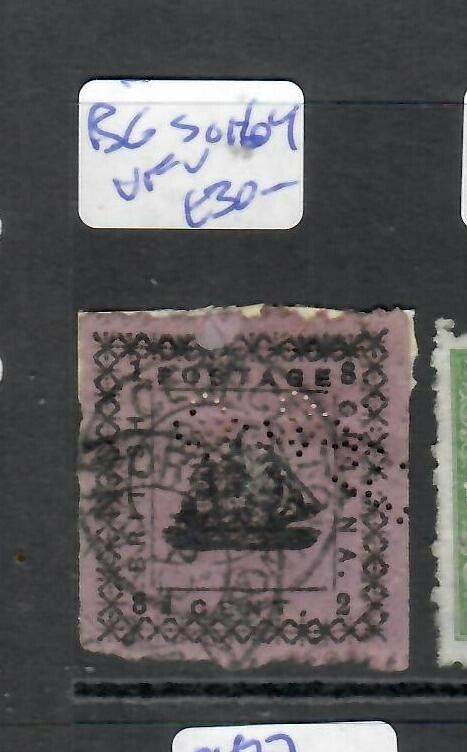
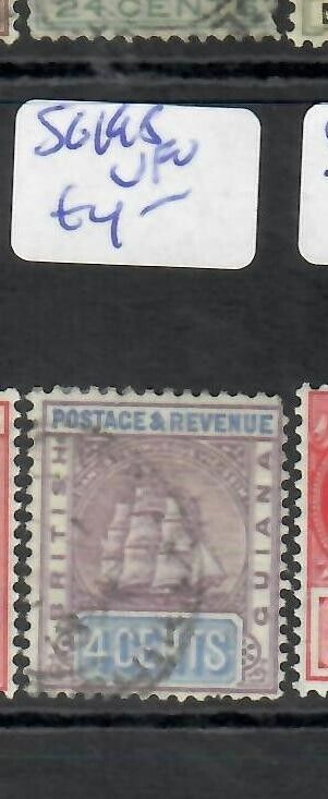
Old Collection
Formerly British Guiana
Guyana
Postage Stamps ON COVER
International Shipping will cost more.
Item sold for more than needs to have tracking.
2021 USPS Postage Rates and Prices
REGISTERED MAIL FEE is .30
INTERNATIONAL POSTAGE is .24 (2 oz)
INTERNATIONAL POSTAGE is .28 (3 oz)
TOTAL POSTAGE and FEES equal .58
Please check cost with seller before buying.
Thank you!
Combined Shipping for Multiple Purchases.
Shipped with United States Postal Service (USPS) First Class Mail.
